Museum records largest earthquake in UK since 2008!
, 25 Chwefror 2014
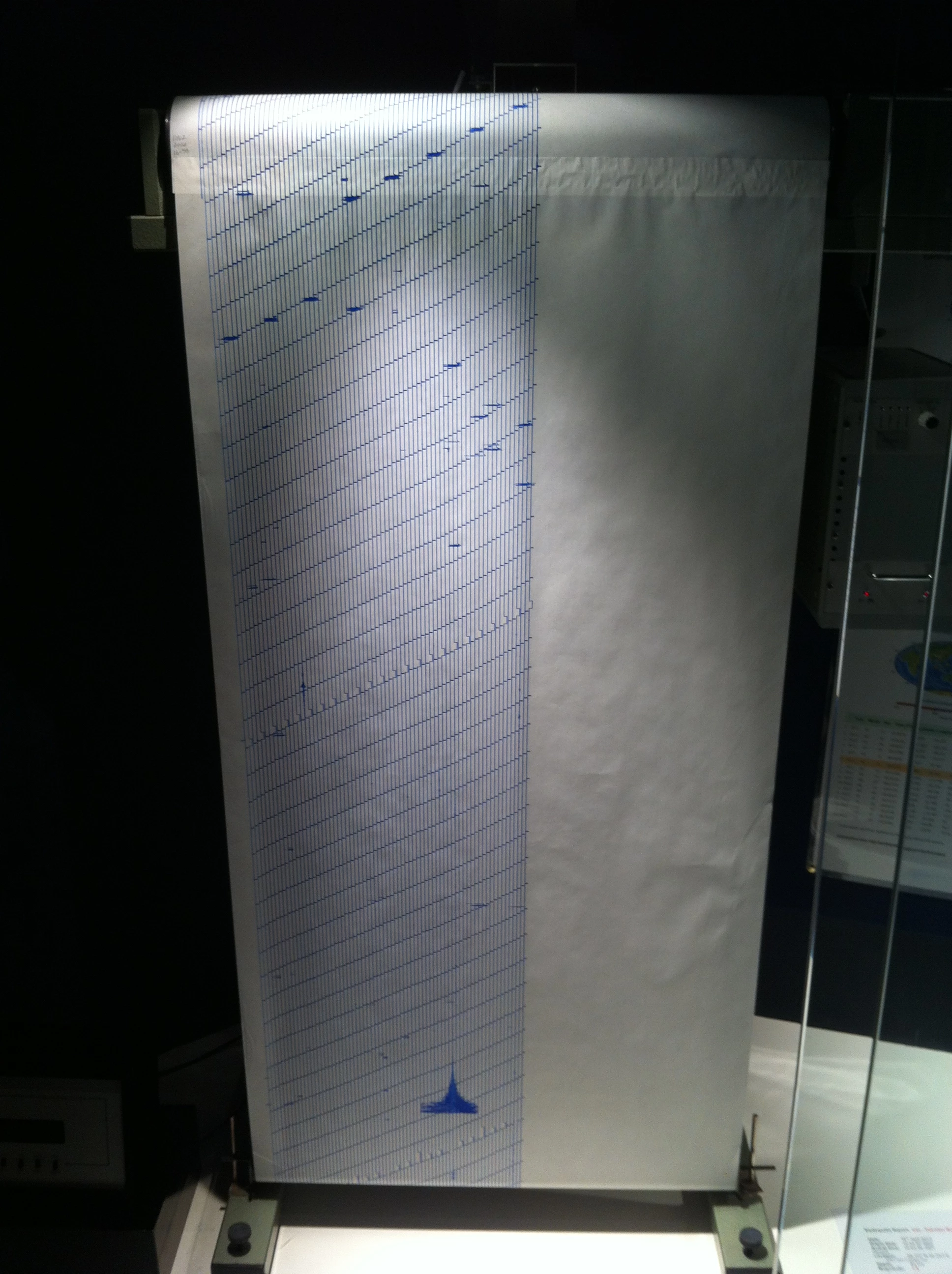
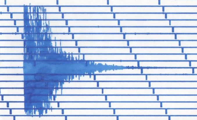
The British Geological Survey (BGS) reported a 4.1 magnitude earthquake in the Bristol Channel at 13:21 GMT on 20th February 2014. The event was also recorded on the Museum seismograph in the Evolution of Wales Gallery at National Museum Cardiff.
This is the largest earthquake in the UK since the 5.2 magnitude Market Rasen quake in February 2008.
The earthquake was felt widely across South Wales, Devon, Somerset and western Gloucestershire. Reports to the BGS described “felt like the vibration of a large vehicle passing the building”, “the whole house seemed to move/wobble back and forth a few times”.
The earthquake epicentre is estimated to be 18 km NNW of Ilfracombe at a depth of 3km.
Although the UK is not located on a plate margin, on average 200 – 300 earthquakes a year are recorded in Britain. Most earthquakes are so small they are not felt by people, and can only be picked up by the sensitivity of a seismometer.
The UK is located on the European plate. Tension is built up in the plate as new crust is created at the Mid Atlantic Ridge, and the plate is slowly pushed towards the north-east.
There are several long-active faults in the Bristol Channel which include the Bristol Channel – Bray fault. Once faults form, they create weak zones in the crust that can be reactivated time and time again. Movement occurred along one of these faults as tension in the crust was released.
On average an earthquakes of this size affects mainland Britain once every 2 years.
The largest recorded mainland event is the magnitude 5.4 earthquake on the Lleyn Peninsula in July 1984, where movement occurred along a long-active pre-existing fault.


